
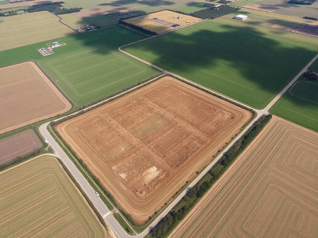
Land Surveys & Mapping
Photogrammetry-grade capture for acreage, development sites, and stockpiles. Ground control available for survey-grade accuracy, with outputs that drop straight into CAD and GIS workflows.
Benefits
- Acquire acreage data in hours instead of days
- Volumetric measurement for stockpiles and cut/fill
- Contour and elevation models for planning
- Safe capture of inaccessible terrain
Deliverables
- High-resolution orthomosaic (GeoTIFF)
- Digital surface & elevation models
- Contour lines and volumetric reports
- Annotated boundary exhibits (PDF/PNG)
Industries served
- Surveying firms
- Civil engineers
- Land developers
- Municipalities
Example footage
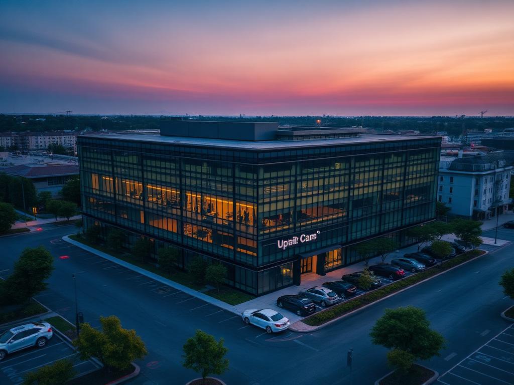
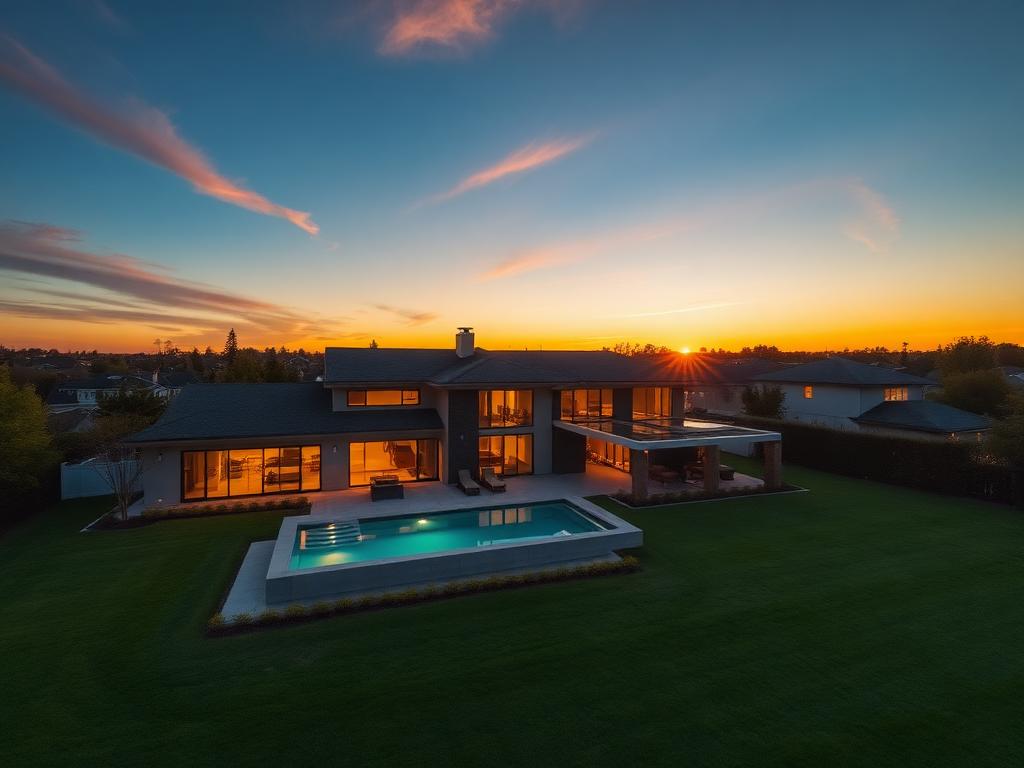
Recent frames from this work

Commercial Real Estate
“HuffHorizon turned a hard-to-explain industrial site into a listing that sold itself. The footage looked like a national campaign, not a local shoot.”
Dana Whitfield
Managing Broker, Midwest Commercial Group
Free consultation
Request a land surveys & mapping quote
Tell us about the property and we'll come back with availability, deliverables, and a fixed quote — usually within one business day.
FAA Part 107 Certified
Licensed commercial remote pilot
Commercial Licensed
Registered business operator
True 4K / 48MP
Broadcast-grade capture
Full Usage Rights
Licensed music, unlimited commercial use
Airspace Cleared
LAANC authorization before every flight
Local to Omaha
Same-week scheduling